Custom GIS and Cartographic Services to help solve your mapping needs. Using gps accurate and customized data, these maps will guide you without the need of cell reception.
As experienced GIS consultants (Geographic Information Services), we are skilled problem-solvers that can tailor data to achieve solutions. Using ArcMap, Spatial Analyst, MAPublisher, Illustrator, Photoshop, Geographic Imager or Google Earth, we will find the right medium for our clients' needs.
Case Studies
--------------------------
White River, CO - Signage Project
Scope: Create a master map of the White River which covers a 50 mile section. Nine Kiosks along select locations are to have a detailed unique map of the neighboring Public Fishing Easement.
Client: City of Meeker, Dept of Forestry, Bureau of Land Management


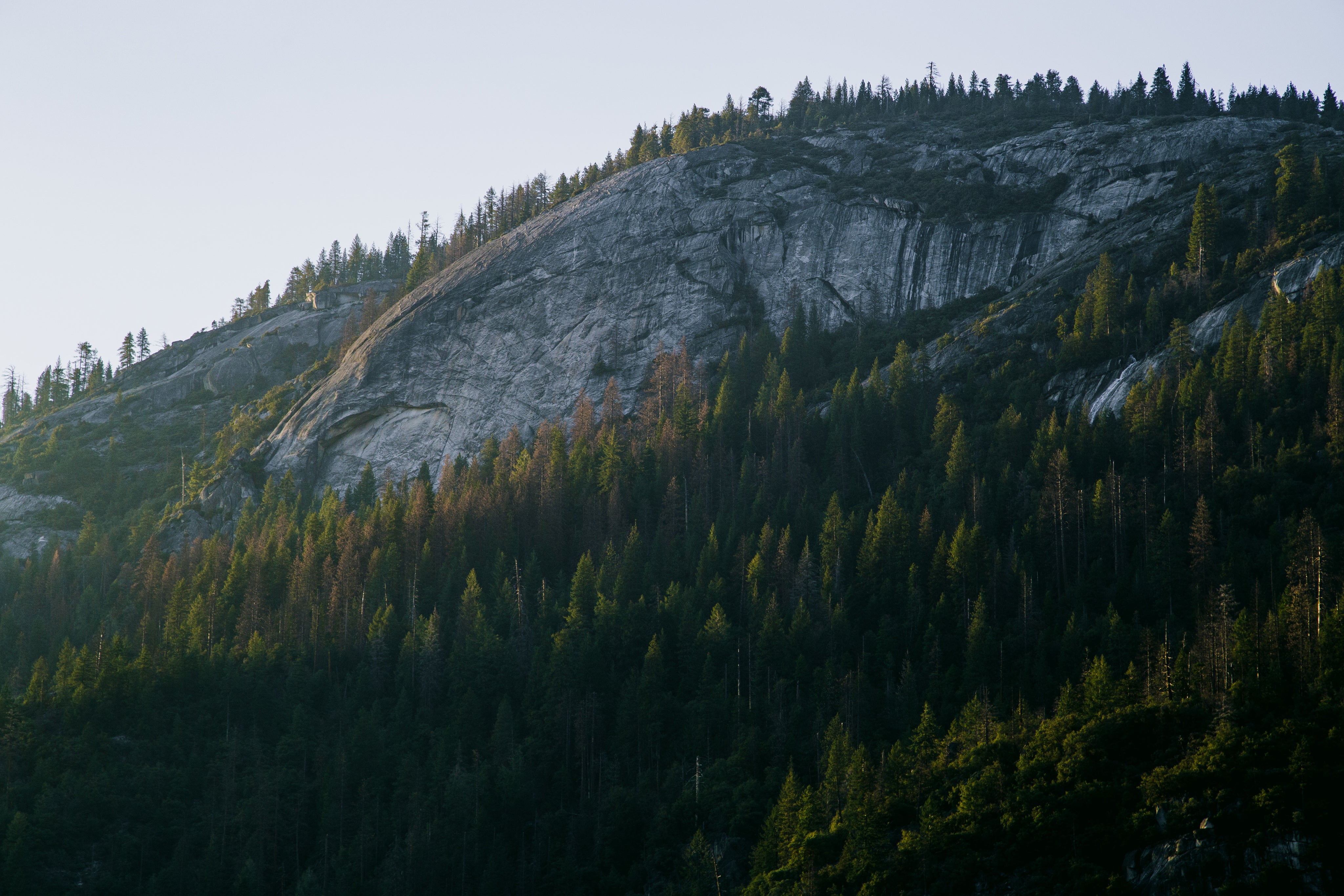
One of the Kiosks near Meeker, CO
Read Case Study: WhiteRiver for more details on this project
---------------------------------------------------------------------------------
Hixon Forest - Trail & Mountain Bike Maps
Project: Create several maps for Kiosks in the Hixon Forest Park. Maps are to include newly built trail system and to clearly identify Hike Only and Hike/Bike trails.
Client: City of La Crosse, WI and ORA


Picture of the Lower Hixon summer trail system (L) and the Winter trail system (R)
Read Case Study: Hixon Forest for more detail on this project
---------------------------------------------------------------------------------
Snowmass Resort
Project: Redesign the Summer Trail Map for Snowmass Resort including a paper map and mobile map.
Client: Town of Snowmass

Royal Elk Ranch
Project: Create a property map that is gps accurate for development purposes.
Client: Royal Elk Ranch


Read Case Study: RoyalElk for more detail on this project
---------------------------------------------------------------------------------
Webinar
Drew Gaskin and Greg Tanaka presented the following webinar

Dan is our avid flyfisherman, hiker and hunter extraordinaire. He brings a wealth of knowledge from his experiences and supplies the maps with hands-on information that makes these maps a must-have. Residing in Colorado for most of his life, Dan has climbed many peaks and endured trips where survival tactics were required. Dan knows what useful information the typical outdoorsman wants on a map because he is the true outdoorsman. Dan studied Business and Economics before becoming General Manager of Orvis Fly Fishing Outfitters. Dan developed the Handy Micro Fiber Cloth in 2012. It is currently in 16 of the largest national parks in the country and counting…

Greg Tanaka
Greg is our map guru. He creates our maps and designs them to be intuitive, easy to navigate and beautiful to look at. Previously, he spent several years creating Harley-Davidson’s series of motorcycle ride maps. Some of his earlier works have been inducted in to the Library of Congress. He has earned 4 map awards and 3 design awards for his past works. A lifelong Californian who resides in the SF Bay area, Greg’s passion now is to teach his kids the art of fishing and to appreciate the beautiful outdoors.

Bill is an original member of our sales team who has worked in the specialty retail industry as a former Owner/Operator of Fly Fishing Outfitters for more than twenty years. He is a member of the Freshwater Fisheries Hall of Fame, IGFA World Record Holder, Colorado Master Angler and Orvis Outfitter of the Year twice. A professor of fly fishing for Colorado Mountain College for almost 22 years also a founding board member of the Eagle River Watershed Council. He has specialized in teaching guide training schools and rowing certification programs since the early 90’s and has amassed over 20,000 commercial river miles as a guide and trainer. Bill has spearheaded the use of novel marketing tools like our microfiber Handy Map to help specialty retailers abroad generate more market share and realize more profits. Bill is our expert in the fishing industry and can help you maximize profits in your retail shop.

Joshua hails from a small town in Wisconsin near the shores of Lake Michigan and recently spent two seasons in Vail, Colorado. He is an enthusiastic idea generator with a love for outdoor photographer and making maps. He has a passion for not only natural geography but the art of geo-visualization and map design. Joshua will fill a dynamic role of map production, photography, and web design. Joshua obtained his BA in Geography at the University of Wisconsin - La Crosse.